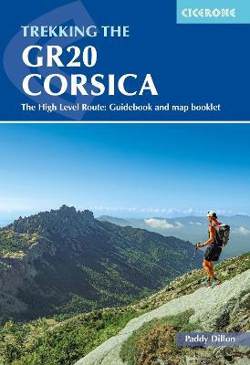
Trekking the GR20 Corsica: The High Level Route: Guidebook and map booklet
English
By (author): Paddy Dillon
A guidebook to trekking the GR20 Corsica, widely considered to be the most difficult of Europes GR long-distance routes. The 190km (118 mile) trail from Calinzana to Conca traverses the islands mountainous heart and calls for both fitness and experience. Crossing remote and rugged mountainous terrain, there is plenty of hands-on scrambling and, although it is possible to stay under a roof every night, it is recommended that trekkers carry backpacking kit.
The GR20 is presented in 16 stages of 5 to 18km (311 miles), with low-level options provided for a number of the stages. It takes around a fortnight to complete. Also included are a handful of excursions to climb neighbouring peaks and link routes for those wishing to join or leave the trail.
- Clear route description with 1:50,000 maps and elevation profiles
- Includes separate map booklet featuring 1:25,000 IGN mapping
- GPX files available for download
- Route summary and facilities summary tables help you plan your itinerary
- With accommodation listings


